 29+Years
29+Years
29+Years


1 Available
Condition: New

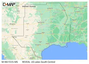
C-MAP Reveal Inland US Lakes South Central
Model: M-NA-Y215-MSThe C-MAP Reveal Inland US Lakes South Central (M-NA-Y215-MS) is a digital cartography product designed for marine navigation in the South Central United States. This solution provides detailed mapping for inland lakes, catering to businesses and individuals operating vessels in these regions. Key features include shaded relief, full-featured vector charts, and high-resolution bathymetry, which aid in understanding underwater topography. Users can benefit from custom depth shading and dynamic raster charts for enhanced situational awareness. The product also integrates Easy Routing, aerial photos, and satellite overlay to assist with route planning and visual navigation. Additional details such as tides & currents, detailed marina port plans, and harbor & approach information are included. It is compatible with Lowrance� systems and offers 12 months of free online updates, ensuring access to current data. This C-MAP Reveal product addresses the need for precise and comprehensive navigational data in specific inland waterways.
M-NA-Y215-MS - Navico Group C-MAP Reveal Inland US Lakes South Central





























































